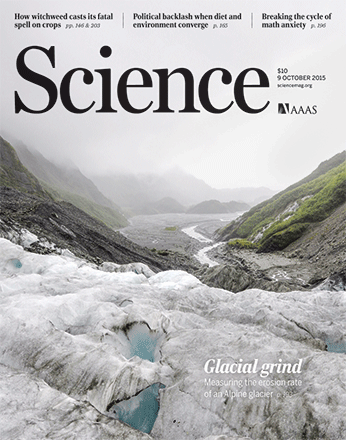
published in Science on Oct 9, 2015. https://science.sciencemag.org/content/350/6257/193.
From Wikipedia: “A glacier is a persistent body of dense ice that is constantly moving under its own weight; it forms where the accumulation of snow exceeds its ablation (melting and sublimation) over many years, often centuries”
- Glacier erosion has obvious effects on the landscape of the Earth
- Glacial erosion rates span several orders of magnitude from polar and dry regions to temperate alpine glaciers, and from hill-slope landscapes to steep, tectonically active mountain ranges
Glacier erosion power law was proposed by Jonathan Harbor, Bernard Hallet, and Charles Raymond, Nature, 1988.

But what is value of b, the power factor?
Sub-pixel image correlation techniques for satellite imagery were developed and used in this study to obtain accurate 3D model of the glacier surface, and then its moving speed, u, and helped constrain the value of b.
- ~50k lines of python/C++ code for Satellite Image Correlation
- Include the full DEM workflow of ancillary data correction (bundle correction), tie-points generation, orthorectification, correlation, triangulation, and gridding